Nearly 20 years ago, a client sent me to research the Santa Barbara area for their annual convention. When my work was completed, I had a half day before my flight home. I stopped at the visitor's center and asked, "Where could I find the most uninhabited, wild ocean coast in the area?" They sent me north to Jalama Beach.
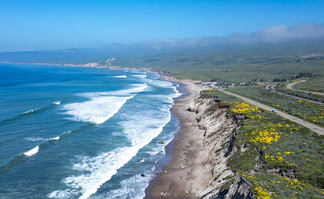
Jalama Beach is a Santa Barbara County park/campground that borders the Vandenburg Space Force Base from which many of our nation's military satellites (and Elon Musk's Space X Star Link satellites) are launched.
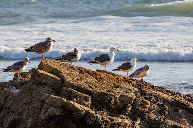
The coast is open to the public for five miles north of the campground and nearly 30 miles south. While the beaches are open to the public, much of the property inland is is private ranches, some of which descended from Spanish Land Grants.
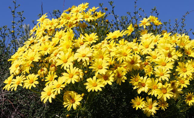
It is always windy at Jalama, but hardly ever cold when we visit. The beach, the small cafe/grocery that serves their "famous Jalama burgers and clam chowder", tide pooling, the blue ocean and the yellow coreopsis plants that bloom in March draws us back to Jalama each year.
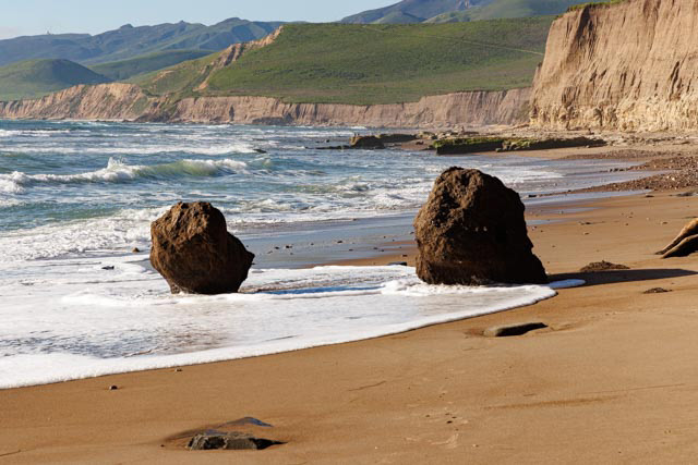
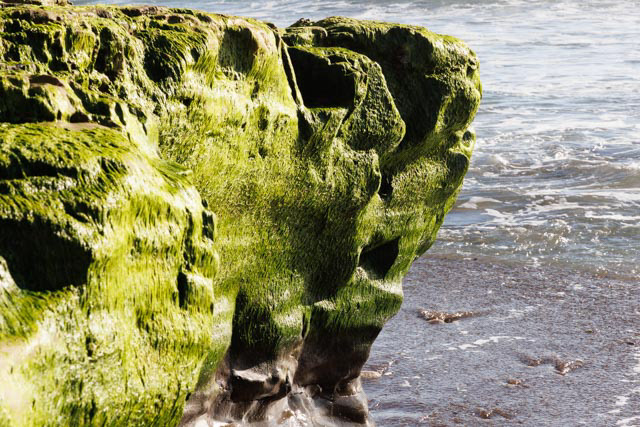
This year, my good friend and outstanding photographer, Stuart Wilson and I attempted to hike the five miles north on the coast to photograph sea caves in the cliffs. We were stopped by a too-rocky beach with a half-mile to go to the caves. A wonderful hike, but not worth breaking an ankle.

Amtrack's Coast Starlight runs from Los Angles to Seattle and passes right by Jalama Beach. It moves through quickly, so is hard to forecast and difficult to photograph. As we were leaving this year, we stopped at the rail crossing and asked the workers when the next train was due. The said in ten minutes. We quickly launched the drone. As I was flying over the train, I thought it would pass beneath me, but instead it was slowing and then stopped. Several of the workers boarded the train and it continued. Notice in the video all the transportation modes that convene here - the train, a helicopter, bicyclist, autos, and a travel trailer.
We had arrived at Jalama near dawn to take advantage of the best light, so we still had much of the day ahead of us after the train passed. We headed inland to the Santa Ynez Valley. Located 30 miles north of Santa Barbara over San Marcos Pass.
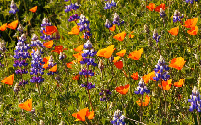
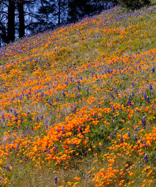
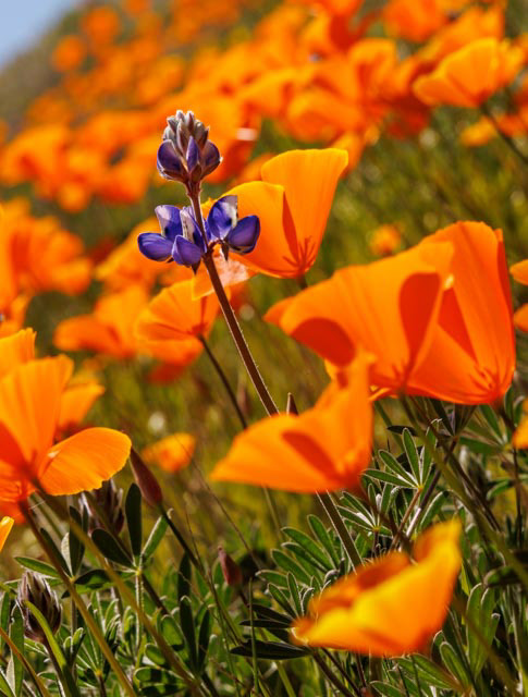
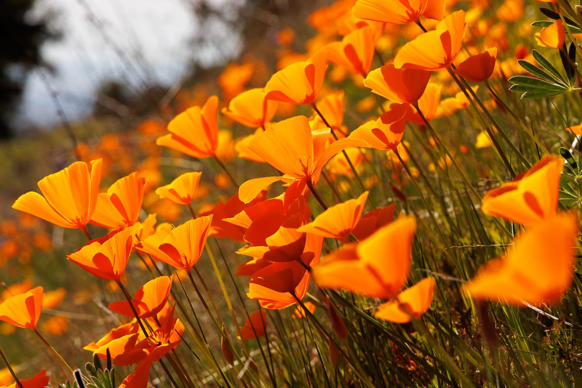
One of the tallest mountains bordering the valley is Figueroa in the Los Padres National Forest. It is known for the California poppy and lupine stands scattered throughout the Forest. A twisty road takes one up to nearly the top of Figueroa where one famous hillside is usually in bloom (depending on annual moisture). This year was a good bloom year.
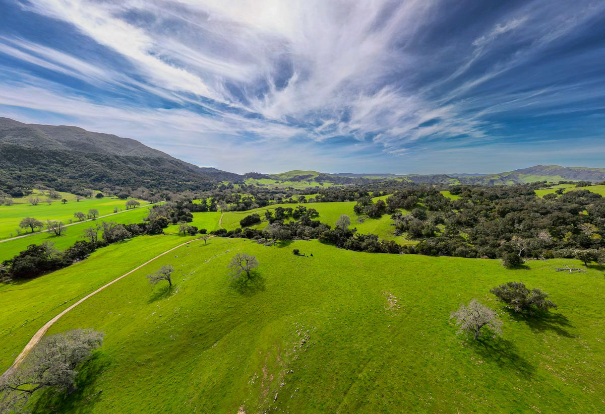
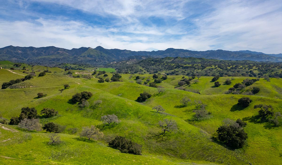
Much of the Santa Ynez Valley has been converted to wine vineyards (yea!!), but there is still pasture and range land. Grass Mountain and Figueroa Mountain highlight the mountain range that forms a scenic backdrop for the green valley below. Of course, in the summer, these grass hills turn brown except for the valley oak and coastal oak trees scattered throughout the rangelands. And yes, it really is this green in the spring.
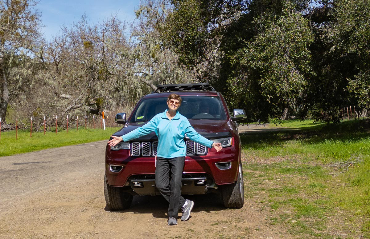
The Valley roads wind through vineyards, pastures and oak forests that are so beautiful in March that Nancy just has to stop and dance from time to time.